Places
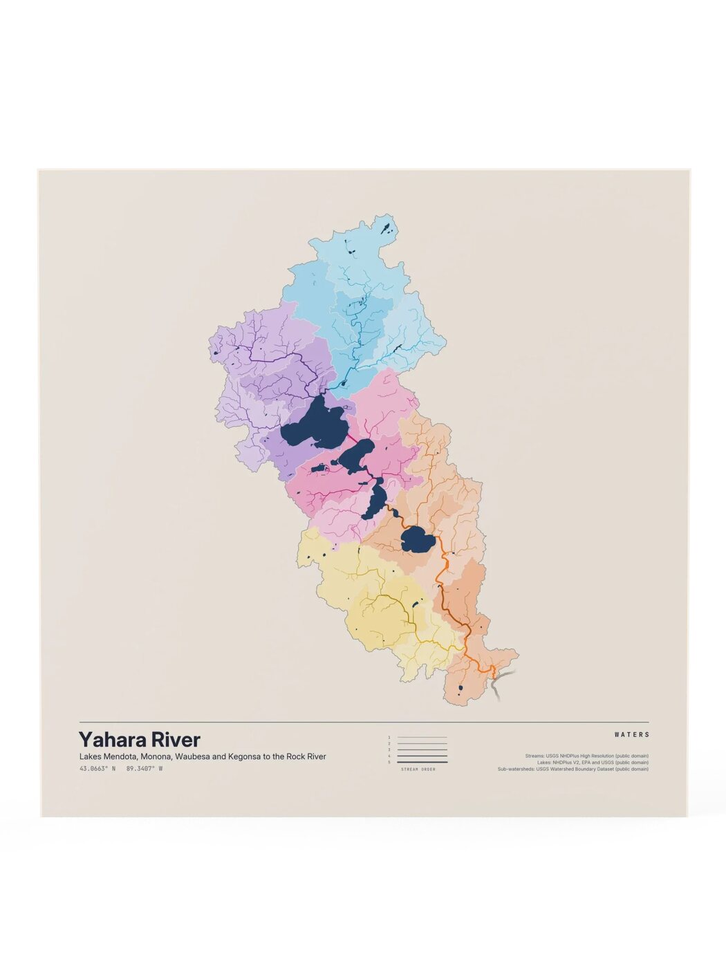
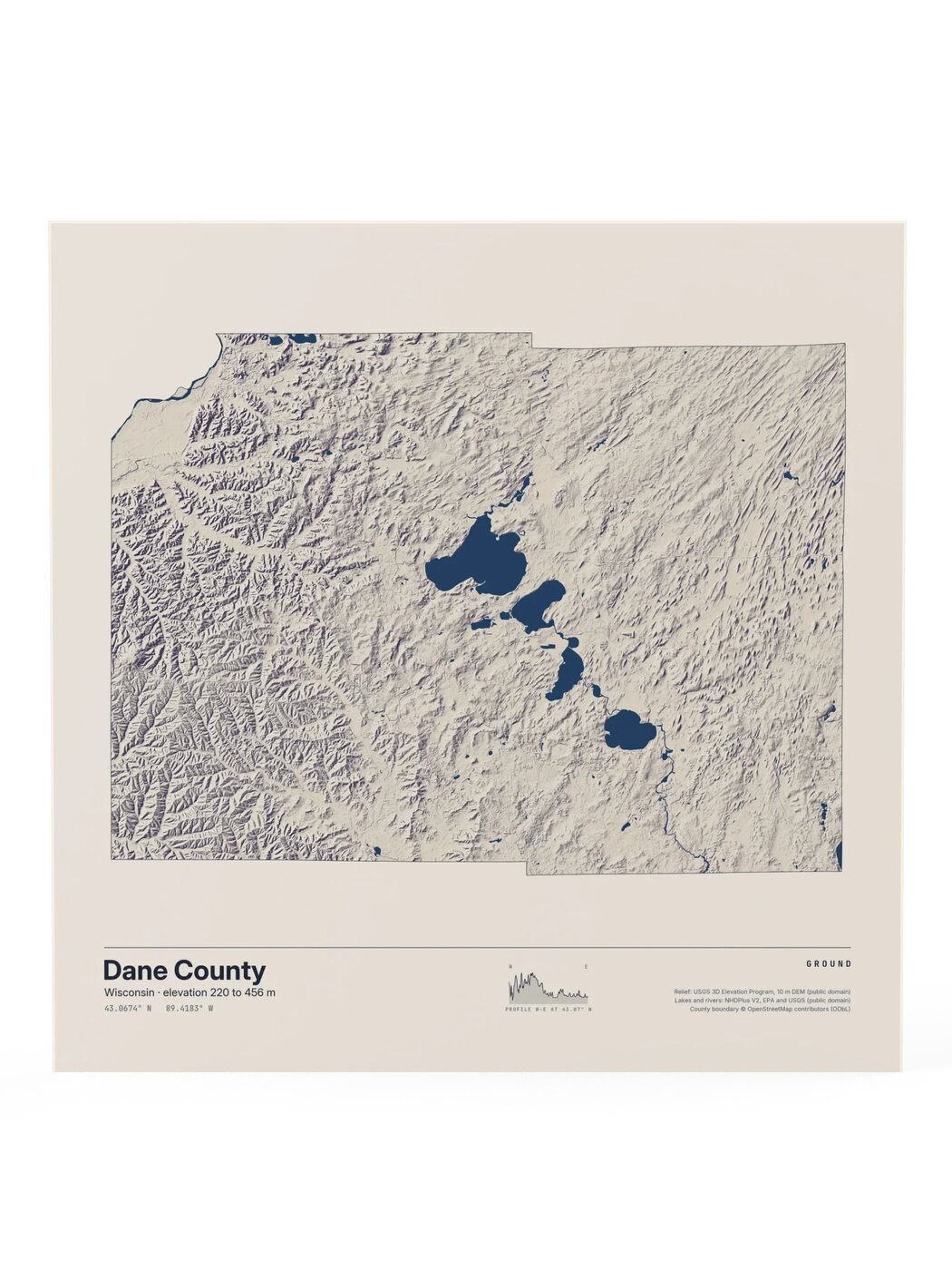
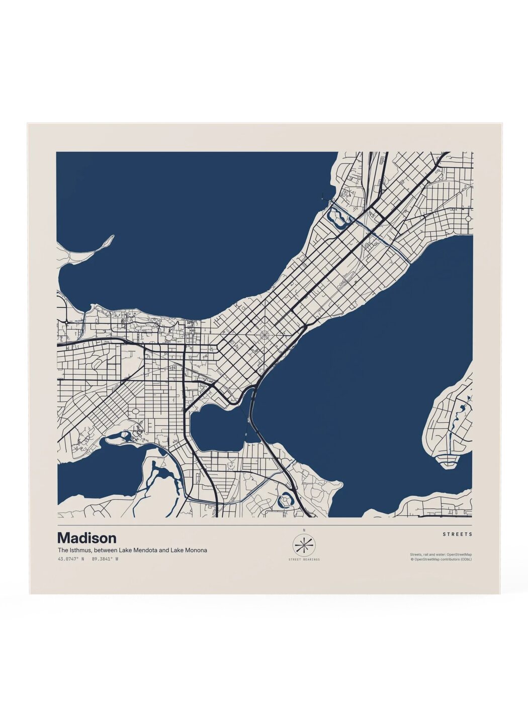
One place, three ways to see it. Waters traces every mapped river and stream that drains it. Ground shows the shape of the land. Streets draws every mapped street, with a compass of which way they run. The first place is Madison, Wisconsin.
3 designs